
Put the Power of Modern Geospatial to Work For You
Services

Products

Resources

Careers

Services
Products
Resources
Careers
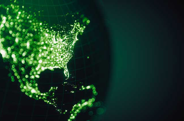
Welcome to the future of location
Welcome to Locana, a world-class geospatial company with decades of experience combined with cutting-edge capabilities.
The next evolution of Critigen, Locana offers expanded services and solutions that run the gamut of geospatial technologies, giving you a collaborative partner that caters to your unique business needs.
By applying traditional geospatial knowledge to the broader technology world, we serve organizations of every size, industry, and geography. Take advantage of modern mapping and location intelligence to build a better business and a better world.


Systems, services, and solutions for every need
Locana is a robust services and solutions company with many ways to serve you. Our project work with clients includes system design, integration, launch, and adoption. We develop market-driven products that extend geospatial to the field and organization. And our expansion into open data and development has resulted in a wide array of intuitive, powerful applications and custom experiences designed for both private and nonprofit clients.
Discover how our team of consultants, project managers, analysts, designers, developers, and industry experts can help you take advantage of the global explosion of geospatial data.
What We Do


Plan
Partner with a leader in strategic planning that listens first to help roadmap your geospatial vision. We work with clients to design enterprise systems, innovative architectures, and engaging experiences.
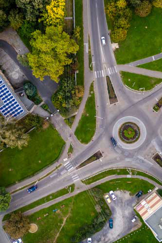
Map
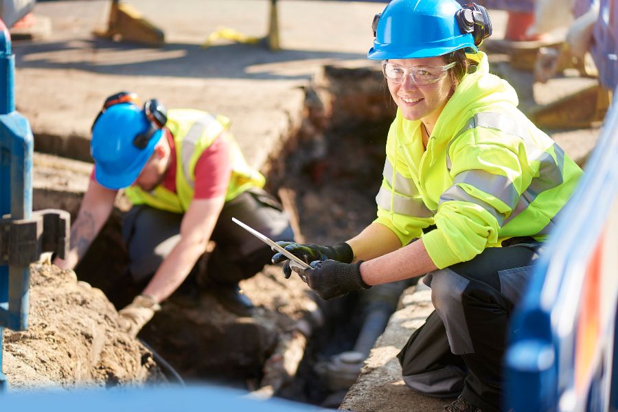
Capture, aggregate, and curate location data for optimized results. Locana builds, automates, and optimizes data pipelines that help you make decisions based on visualized information.
Analyze
Leverage the right algorithms, models, and visualization to transform complex information into actionable intelligence. Tell data-driven stories that inform decisions and create knowledge.
Build
Develop, configure, and customize application solutions, models, and more around your staff and workflows to improve business outcomes. Locana can build predictive analytics, dashboards, web, and mobile applications.
Integrate
Connect to your business systems, including SAP, Salesforce CRM and Work Management, OSISoft, Maximo, Oracle and more. Bring data together to remove silos and integrate departments, people, and processes using location.
Enable
Ensure delivery excellence and adoption with Locana’s unique approach to technology transfer and ownership enablement. We work to make clients successful, which includes seamless project transition.
Plan
Map
Analyze
Build
Integrate
Connect to your business systems, including SAP, Salesforce CRM and Work Management, OSISoft, Maximo, Oracle and more. Bring data together to remove silos and integrate departments, people, and processes using location.
Enable
Ensure delivery excellence and adoption with Locana’s unique approach to technology transfer and ownership enablement. We work to make clients successful, which includes seamless project transition.
The Locana team seemed passionate around the work and thought it was important. And it was a collaborative effort. We would iterate back and forth and be intentional in what we chose to do or not do.
Exceptional service
Locana specializes in working closely with customers to understand their needs, design tailored solutions, and enable long-term success. We do this using our unique customer collaboration spectrum, which allows us to deliver precise geospatial programs that meet client objectives while maximizing their resources.
From industry-leading products to cloud-based platforms to embeddable functionality, we develop systems, solutions, apps, and experiences leveraging proprietary software, open source, or a hybrid of both.
Become an insider
Sign up for quarterly insights on topics you care about, including GIS, geospatial, enterprise systems, open data and development, and more. We’ll share industry best practices, user stories, and relevant information you can use in your own work.
Let’s connect
Contact us today to learn more about what we offer and how we can deliver for you.

At Locana, we believe maps and location intelligence can help solve the most pressing infrastructure, sustainability, social, and business challenges.
At Locana, we believe maps and location intelligence can help solve the most pressing infrastructure, sustainability, social, and business challenges.
Locations
United Kingdom
© 2024 Locana